-40%
Port Washington NY 1873 Map with Homeowners Names Shown
$ 6.33
- Description
- Size Guide
Description
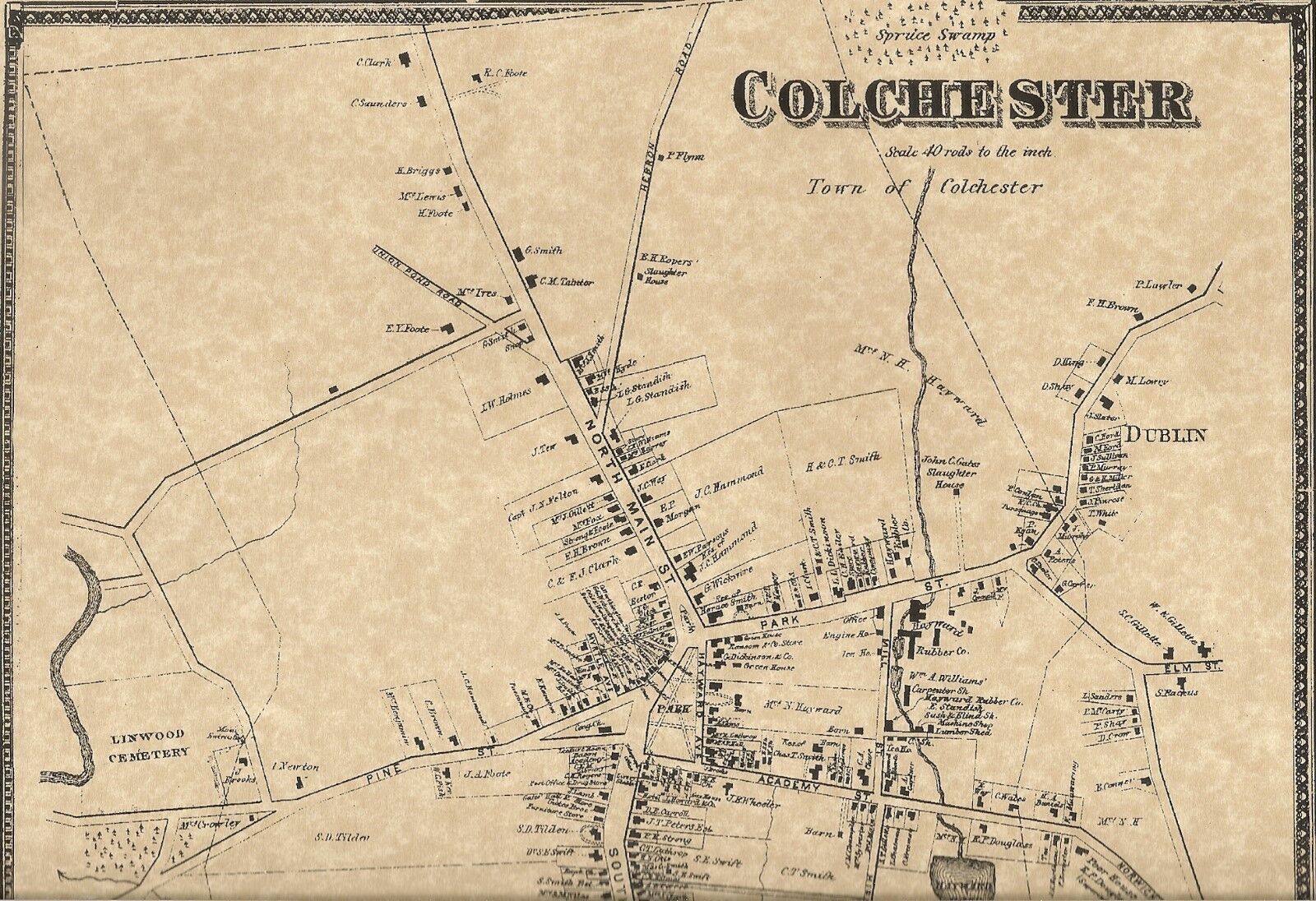
This is a map which shows where many of the homeowners resided in the Village of Port Washington, Long Island, NY in 1873. This map was reproduced on fine natural color parchment. It's approximately 11"x 17" and suitable to fit a standard size frame or can be matted to fit a larger museum quality mat. Contained on the map are finely detailed locations of the homeowners of Port Washington.Please note that only portions of the actual map are shown.
Some of the current areas on this map are Baxter Estates, Manorhaven, Manhasset Isle and Mill Pond. Some of the surnames which are clearly printed are Mackey, Fox, Floyd, Cock, Ritchie, Mitchell, Cheshire, Cornwell, Walker, Brown and so many more that it's impossible to list! Also indicated on the map are schools, named streets, railroads, churches, cemeteries and rivers/streams.
It would indeed make quite a conversation piece as well as an excellent gift for that person who has everything! What a great genealogical treasure to be able to locate the homes of one or more of your ancestors! Multiple auctions purchased can be combined for one shipping charge! Please check out my other listings for many other fine old town maps! I have many Long Island maps available!
BUYERS SPECIAL----PURCHASE ANY 3 LISTINGS OR MORE AND RECEIVE FREE SHIPPING!


